
Western Range
A defined pipeline of priority exploration targets, supported by historical geophysical work and limited modern follow up

Significant Geological Record: Benefits from a large historical dataset covering magnetics, gravity and electromagnetic surveys including work by BHP and Rio Tinto during 1990s
Defined Pipeline of Priority Targets: Several bullseye magnetic anomalies identified by BHP and Rio Tinto located on major northerly trending structures and regional gravity gradients, presenting analogously to the Abra Deposit and the Teano River.

Large Holding in a Proven District: 19,330 hectares north of Meekatharra in Western Australia, partially contiguous with the Abra Mine.
Clear Avenues for Value Creation: Prime candidate for a concise program of confirmatory geophysics followed by a targeted drilling program, focusing on named anomalies and expansion potential.
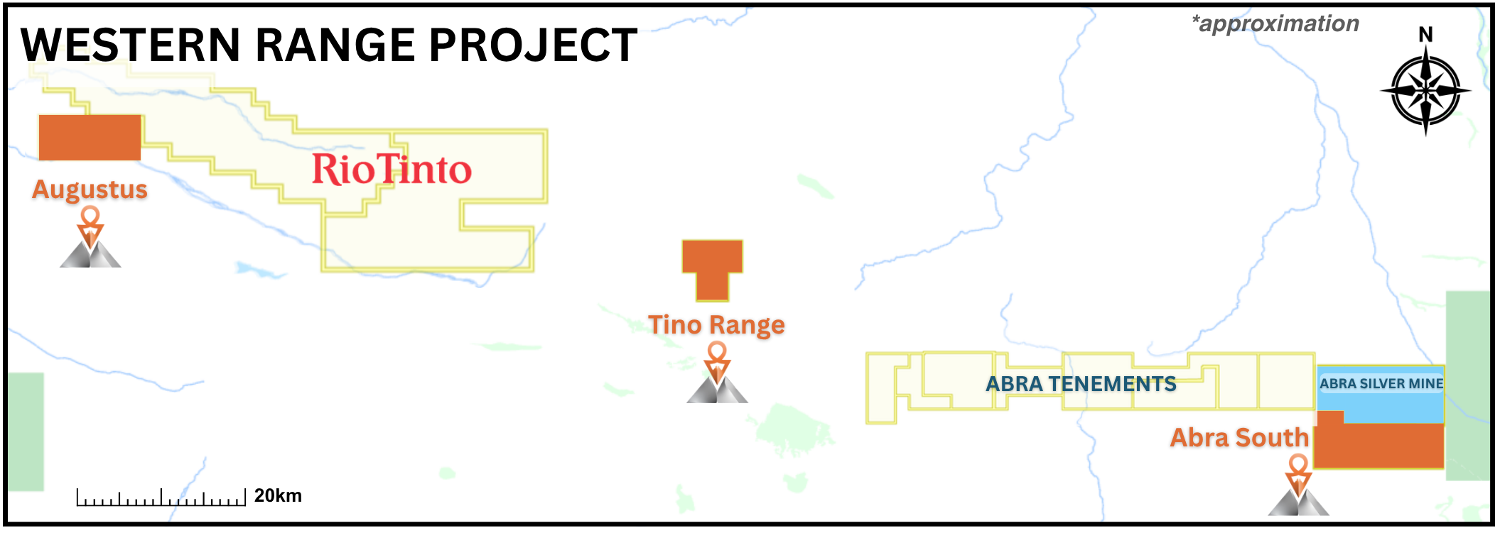
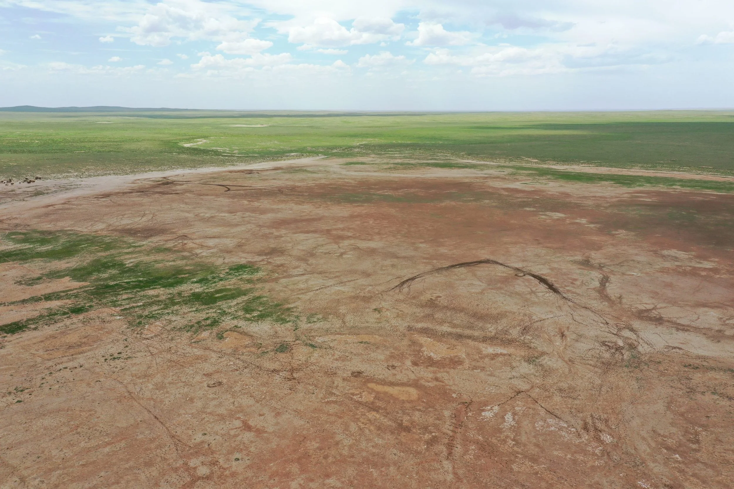
The Western Range Silver Copper Project consists of three tenements for a total of over 19,000 hectares located in the Capricorn Orogen, north of the mining town of Meekatharra in Western Australia, and benefits from the infrastructure of neighbouring operations and labour availability of surrounding towns.
Historical exploration in region began in the 1970s, when Amoco initiated base metal exploration across the broader district, mainly targeting exposed prospective units of the Edmund Subgroup. The Abra deposit, which is partially contiguous with the Project area, was not tested until 1981, when Geopeko drilled a single diamond drill hole (AB3) into the deep magnetic target. Intersecting a sequence of stratabound chlorite hematite magnetite barite altered rocks, mineralisation included 27m averaging 6.1% Pb; 194m averaging 3.1% Pb; and 19m averaging 3.68g/t Au and 1.1% Cu. Between 1981 and 1989, 13 drill holes were completed at Abra, all intersecting a similar sequence of altered and mineralised rocks.
This work helped confirm that the Capricorn Orogen and Bangemall Basin could host substantial concealed base metal systems and provided the geological context for later target generation across nearby tenements.
Western Range sits along the same structures as the Abra deposit, with Abra South being contiguous with the Abra site. In the December 2025 quarter, Abra reported 32,415 tonnes of concentrate produced at grades of 242.8 g/t silver and 61.2% lead, containing 253koz of silver and 19,756 tonnes of lead.
The Company aims to benefit from the existing infrastructure of the Abra mine and is positioned to move toward advanced exploration following confirmation of the existing targets and expansion drilling.
Identified by BHP and Rio Tinto in the 1990s, Western Range targets were left underexplored due to corporate shifts by BHP and Rio. Targets include several bullseye magnetic anomalies located on major northerly trending structures and regional gravity gradients, presenting analogously to the Abra Deposit and the Teano River. Only one of these targets was drilled to 160 meters, short of the target depth of 175 to 215 meters, due to high water flows. BHP did not revisit the drillhole as this coincided with their shift away from Australian exploration.
Western Range is a prime candidate for a concise program of confirmatory geophysics followed by a targeted drilling program, focusing on these anomalies and expansion potential.